Huge data encompassed into a unique georeferenced macrobenthic assemblages database
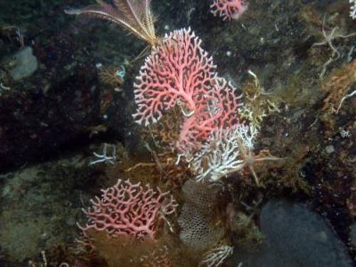
A new peer-reviewed data paper offers a comprehensive, open-access collection of georeferenced biological information about the Antarctic macrobenthic communities. The term macrobenthic refers to the visible-for-the-eye organisms that live near or on the sea bottom such as echinoderms, sponges, ascidians, crustaceans. The paper will help in coordinating biodiversity research and conservation activities on species living near the ocean bottom of the Antarctic.
The data paper "Antarctic macrobenthic communities: A compilation of circumpolar information", published in the open access journal Nature Conservation, describes data from approximately 90 different expeditions in the region since 1956 that have now been made openly available under a CC-By license. The paper provides unique georeferenced biological basic information for the planning of future coordinated research activities, for example those under the umbrella of the biology program Antarctic Thresholds – Ecosystem Resilience and Adaptation (AnT-ERA) of the Scientific Committee on Antarctic Research (SCAR). The information collected could be also beneficial for current conservation priorities such as the planning of Marine Protected Areas (MPAs) by the Commission for the Conservation of Antarctic Marine Living Resources (CCAMLR).
The expeditions were organised by several famous explorers of the Antarctic. The area covered by the paper consists of almost the entire Southern Ocean, including sites covered by a single ice-shelf. The vast majority of information is from shelf areas around the continent at water depth shallower than 800m. The information from the different sources is then attributed to the classified macrobenthic assemblages. The results are made publicly available via the "Antarctic Biodiversity Facility" (data.biodiversity.aq).
A specific feature of this paper is that the manuscript was automatically generated from the Integrated Publishing Toolkit of the Antarctic Node of the Global Biodiversity Information Facility (AntaBIF IPT) and then submitted to the journal Nature Conservation through a novel workflow developed by GBIF and Pensoft Publishers. (see previous press release). Data are made freely available through the AntaBIF IPT, and sea-bed images of 214 localities through the data repository for geoscience and environmental data, PANGAEA- Data Publisher for Earth and Environmental Science (sample: http://doi.pangaea.de/10.1594/PANGAEA.198682).


 RSS news
 Print this article
